A report on the Highway 6 corridor study mandated by House Bill 4053 was released publicly Wednesday by the Oregon Department of Transportation.
The report was sent to the Oregon Legislature last week, ODOT said.
(Skip to the study takeaways by clicking here)
“In the past 10 to 15 years, changes in the area’s economy have brought more freight, tourist and transit traffic to OR 6. As traffic has increased, crashes and fatalities have become more common,” ODOT said in the executive summary of the study report.
ODOT refers to the 48 mile highway connecting Banks to Tillamook as “Oregon 6,” and “OR 6.”
Most people know it as Highway 6 or the Wilson River Highway, as, after you head west pass the summit of Oregon’s Coast Range, the highway begins to follow the Wilson River.
Along the way, it passes through Gales Creek, Glenwood, Lees Camp, and numerous campsites, logging roads, links to other sites like South Fork Forest Camp, and more.
In 2018, Trees to Seas Scenic Byway was added to the list of names.
House Bill 4053, introduced in 2022 by then-State Rep. Suzanne Weber (R-Tillamook) as chief sponsor while she was a state representative serving Gales Creek, Banks, and the North Coast in 2022, was sponsored by Weber following an especially deadly year on Highway 6.
State Sen. Rachel Armitage later joined Weber as a Chief Sponsor, and the bill gained support from a number of other legislators who signed on as sponsors.
The bill directed ODOT to study the highway, and prepare a report including the current condition of the highway, information on deficiencies on the highway, department recommendations to improve the highway’s condition to a state of good repair, a cost estimate for the improvements, and any other pertinent information.

It directed the state agency to report their findings by September 15.
ODOT thanked those who participated in the study over the last year.
“We appreciate you taking the time to give us feedback, come to our meetings and visit our online open houses,” the agency said in an email.
A final report on the study, which gives an overview of the process, can be found online.
And while it’s full of interesting and informative details on the state of Highway 6, including rough estimates on costs to improve the route in various ways, perhaps the biggest takeaway for those hoping to see changes is this.
“ODOT does not currently have funding through construction for any of the project packages and associated solutions identified through the study,”
In other words, unless ODOT or the legislature funds highway improvements, all the ideas in the document will remain on paper only for now.
Here are some of the key takeaways.
Highway 6 has many problems
ODOT focused on these:
- Roadway users have a hard time finding and accessing recreational destinations and communities.
- Some motorists drive too fast around curves.
- Some existing passing opportunities are too short, and motorists want more passing opportunities.
- There is increased risk of crashes when roadway conditions have rain, snow, or ice.
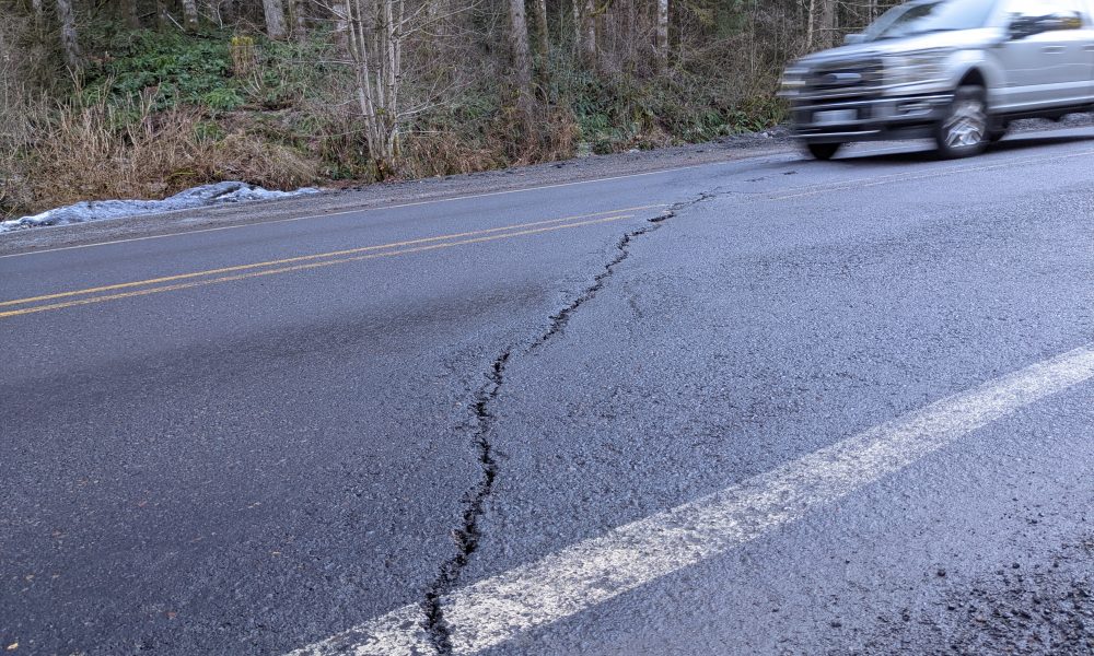
- Pavement condition is poor and unstable slopes increase the risk of landslides.
- Cellphone service is limited, making emergency response challenging.
- Some drivers take too many risks.
ODOT created ten packages of solution ideas with several price ranges.
| Package | Description | Estimated Cost1 Range |
| Package A: Systemic Signage | Install signs throughout the corridor to encourage appropriate speeds, inform roadway users of potential conflicts and delineate curves and destinations. | $1.8 – $2.34 million |
| Package B: Corridor Pavement Markings | Update all roadway striping. Restripe areas near communities and destinations to reinforce slower speeds. Minimize passing opportunities in these areas and provide a buffered shoulder when possible. | $7.3 – $9.49 million |
| Package C: Rumble Strips2 | Install rumble strips along the outside of the travel lane to inform drivers if they leave the lane and along the centerline to alert them if they enter the oncoming travel lane. | $1.2 – $1.56 million |
| Package D: Intelligent Transportation System (ITS) and Communications | Expand ITS and communications devices throughout the corridor, such as a weather warning system; traffic cameras connected to applications such as TripCheck; variable message signs to warn drivers of incidents or conditions ahead; a variable speed guidance system that adjusts speed limits in hazardous weather. | $2.0 – $2.6 million |
| Package E: Passing Opportunities Capital Projects | These packages include several capital projects to address passing opportunities. Project E1 focuses on eliminating unsafe passing opportunities and constructing new passing opportunities where it is most economical. Project E2 focuses on constructing passing/climbing lanes on both sides of the highway and over the summit. | Project E1: $35.0 – $45.5 million Project E2: $102.8 – $133.64 million |
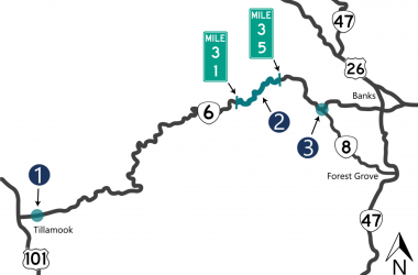
| Package F: Prioritized Unstable Slopes Remediation | Address the 18 priority unstable slopes along OR 6 based on ODOT’s Geotechnical Report. Fourteen of the 18 priority locations are located between milepost 31 and milepost 35. | $38.0 – $49.4 million |
| Package G: Other Large Capital Projects | Project G1: Pavement Rehabilitation Project • Poor pavement locations • Fair pavement locations Project G2: Wilson River Loop Intersection Project3 Project G3: Gales Creek Intersection Project Project G4: Summit Safety and Paving Project | G1: $33.8 – $43.94 million $7.6 – $9.88 million G2: $3.9 – $5.07 million G3: $0.4 -0.52 million G4: $13.3 – $17.29 million |
| Package H: Strategies to Address Behavioral Components | Conduct a safe driving media campaign and evaluate funding opportunities for increased enforcement. Consider installing speed feedback signs along more urban areas of the corridor that report driver speed compared to posted speed. | TBD |
| Package I: Policies or Long-Term Studies | Complete policies or long-term studies to address safety issues on OR 6 related to finding and accessing recreational destinations and communities, the lack of passing opportunities and navigating roadway conditions. | TBD |
| Package J: Identification of Funding Needs | Evaluate funding opportunities and look for occasions to partner with other agencies to increase maintenance and enforcement. | TBD |
2 A rumble strip project has been funded through design and is intended to be funded through construction.
3 A modified right turn lane project has been funded through design and is intended to be funded through construction.
Source: ODOT
ODOT said funding for any solution would be a challenge
While some projects to maintain Highway 6 do occur, “funding availability has not kept up with the highway’s deterioration,” ODOT said.
Agriculture, tourism, and manufacturing have risen in the communities along the highway, increasing traffic.
At the same time, ODOT’s main source of operations and maintenance revenue—the gas tax—is challenged by inflation and increasingly fuel efficient vehicles and increasing sales of electric vehicles, a trend expected to continue.
“ODOT’s current operations and maintenance budget is facing a wide funding gap in the near future,” ODOT said.
There is a cost to doing nothing
“It’s important to remember there is a cost to doing nothing or maintaining the status quo,” ODOT said. “Unstable slopes, for example, are an issue that creates more and more damage over time. Pavement conditions worsen, which impacts roadway markings and decreases driver visibility.”
ODOT said these location are restriped annually, but because the unstable slopes are not addressed, pavement and striping issues continue.
“An annual maintenance cost may not make sense in the long term if it becomes clear it will have to be repeated indefinitely,” the state agency said.

Chas Hundley is the editor of the Banks Post and sister news publications the Gales Creek Journal and the Salmonberry Magazine. He grew up in Gales Creek and has a cat.


