


Spring may have sprung, but the weather didn’t get the memo. The Portland office of the National Weather Service issued several notices, warning of incoming adverse weather overnight and into Saturday.
For those at higher elevations—Timber, Hayward, high elevation areas in Gales Creek—in the region, the NWS issued a Winter Storm Warning starting at 11 a.m. Thursday through Saturday at 11 a.m.
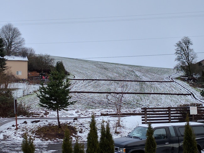
For lower elevations in Banks, on the floor of the Gales Creek Valley and elsewhere in Washington County and beyond, the NWS issued the lesser “Special Weather Statement.
Those living or traveling in areas under the Winter Storm Warning could see snow ranging from four to 12 inches if they’re at around 1000 feet of elevation, while 2000 feet and above could see anywhere from eight to 16 inches of snow.
Under the special weather statement, snow could range from just a dusting to four inches.
“If you must travel, keep an extra flashlight, food, and water in your vehicle in case of an emergency,” the NWS warned.
“Accumulating snow is possible at any elevation beginning late tonight or early Friday morning,” the NWS said, noting that by Sunday, higher temperatures would likely end the potential for snow.

Chas Hundley is the editor of the Banks Post and sister news publications the Gales Creek Journal and the Salmonberry Magazine. He grew up in Gales Creek and has a cat.