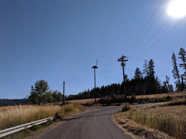
 Power lines on NW Clapshaw Hill Road. photo: Chas Hundley
Update, 2:19 p.m. Tuesday Oct 29: The Portland NWS has extended the wind advisory to 1 a.m. Wednesday morning.
“Most frequent gusts up to 45 mph will occur in the east Metro nearer the Gorge, but can’t rule out periodic gusts 40-45 mph across the rest of the area,” the agency stated.
PORTLAND – The local National Weather Service branch located in Portland issued an advisory for the greater Portland metro area and the Oregon Coast, noting that sustained eastern winds of 15 – 25 miles per hour, with gusts of wind 40 to 50 miles per hour might be expected from 7 p.m. Monday night into Tuesday morning.
The advisory is in effect from 7 p.m. Monday to 10 p.m. Tuesday.
“Tree limbs and a few large trees could be uprooted. Isolated to scattered power outages can be expected. High profile vehicles will be susceptible to strong and gusty cross wind, especially on Interstate 205 over the Glenn Jackson bridge,” the Portland NWS said in their advisory.
Mike Cafferata, district forester for the Forest Grove District of the Oregon Department of Forestry, asked landowners and timber operators to ensure their burn piles were fully out in advance of the high winds.
“Time to check your burns and make sure they are out or secure,” Cafferata said in an email.
Washington County’s emergency management office provides a range of advice and information on dealing with power outages and downed lines at https://www.co.washington.or.us/EmergencyManagement/Hazards/power-outages.cfm.

Chas Hundley is the editor of the Banks Post and sister news publications the Gales Creek Journal and the Salmonberry Magazine. He grew up in Gales Creek and has a cat.


