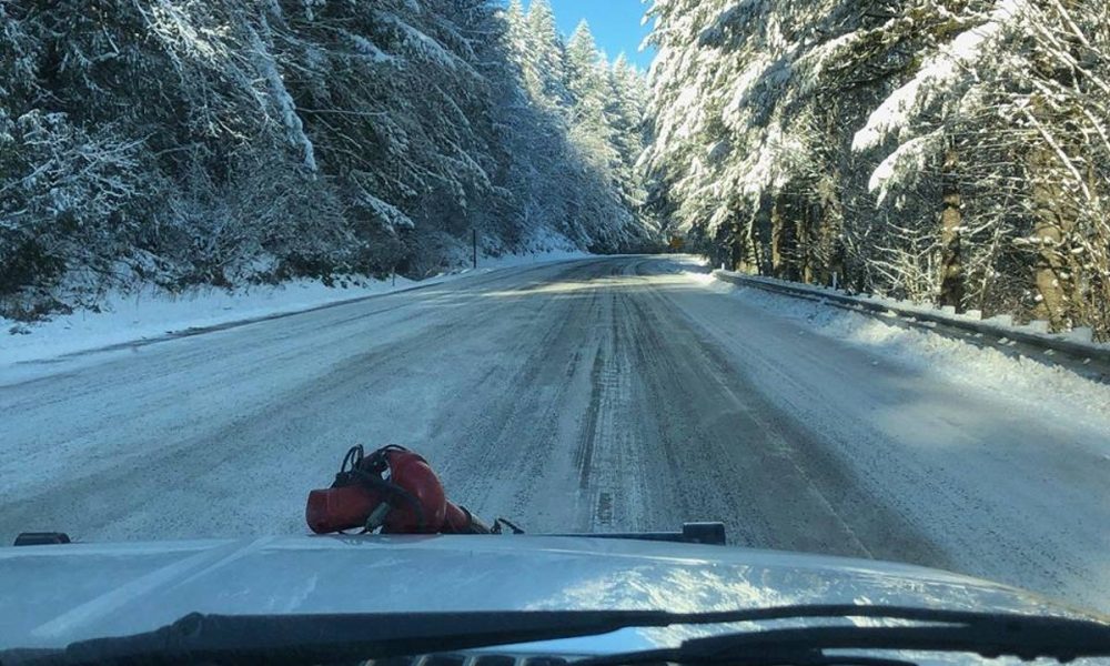
 Highway 26 in the most recent bout of snow. Photo: Banks Fire District 13
PORTLAND – Snow could strike Washington County sometime on Sunday, February 24 and Monday, February 25, according to the Portland branch of the National Weather Service (NWS).
That’s the message in the agency’s Winter Storm Watch, issued on Saturday afternoon.
The storm watch, which covers the Portland Metro area, the northern Coast Range, coastal cities including Tillamook and Astoria, north to Battle Ground, Wash. and south to Salem and more, is in effect from late Sunday night through Monday afternoon.
On the valley floor, one to four inches of snow could accumulate, while the Coast Range, including Timber, Hayward, and other mountainous communities in the area, could see four to 10 inches of snow.
In particular, the NWS said that three to six inches of snow could be seen in the “far western part of the Willamette Valley near the Coast Range.”
For those following along at home, that would be many local communities—Manning, Buxton, Banks— and the surrounding region.
The NWS expects snow to change to rain by Monday evening, though some Coast Range valleys could see freezing rain.
If the forecast bears true, the NWS cautions that Monday morning’s commute could be a treacherous one.
“Be sure to carry chains and a winter emergency kit if you must travel Monday, especially over the higher terrain,” read a statement from the NWS.

Chas Hundley is the editor of the Banks Post and sister news publications the Gales Creek Journal and the Salmonberry Magazine. He grew up in Gales Creek and has a cat.


