
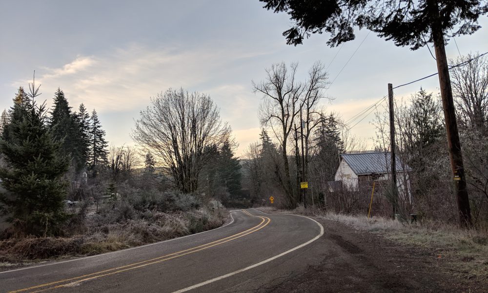


Spring might be in the air, but the winter chill hasn’t quite loosened its grip. The Portland office of the National Weather Service has issued a Winter Storm Warning, cautioning residents of the Coast Range of Northwest Oregon and the Central Coast Range of Western Oregon to brace for heavy snowfall from 11 p.m. this evening to 11 p.m. Sunday, primarily affecting areas above 1,500 feet.
For those residing in lower elevations, snow may still accumulate but with lesser intensity, potentially affecting elevations as low as 500 feet. However, the most significant and disruptive snowfall will remain above the 1,500 feet mark.
Residents and travelers within the Winter Storm Warning zones should prepare for snow accumulations of four to eight inches above 1500 feet, and between eight to 16 inches for elevations exceeding 2000 feet. In addition, winds are expected to gust as high as 40 mph on exposed peaks and ridges.
“Travel could be very difficult. Roads through the Coast Range will be impacted, especially the summits. Those with recreation plans in the Coast Range should prepare for peak winter conditions,” the NWS advised.
“Snow levels will lower from around 3500 feet to 1500 feet behind a cold front this evening, then snow levels will remain unseasonably low through Monday,” the NWS continued, adding that higher temperatures should arrive by Tuesday, alleviating the snow threat.
In the event of travel during the Winter Storm Warning, the NWS encourages carrying an extra flashlight, food, and water in your vehicle for emergencies. To stay updated on the latest road conditions, call 511 or visit https://www.tripcheck.com for Oregon.

Chas Hundley is the editor of the Banks Post and sister news publications the Gales Creek Journal and the Salmonberry Magazine. He grew up in Gales Creek and has a cat.